Ride Statistics
Total Distance:
11.47km | 7.13mi
Starting Altitude:
566m | 1,857ft
Finishing Altitude:
1,217m | 3,993ft
Average Gradient: 5.7%
Elevation Gain:
651m | 2,136ft
Surface Type:
Smooth Bitumen / Asphalt
Difficulty: 71

Sand Canyon to Fire Station Hill Climb

Distance: 11.47km | 7.13mi
Attempts: 2
Elevation Profile

Directions
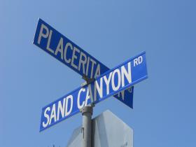
Start Point: Intersection of Placerita Canyon Rd and Sand Canyon Rd, rolling
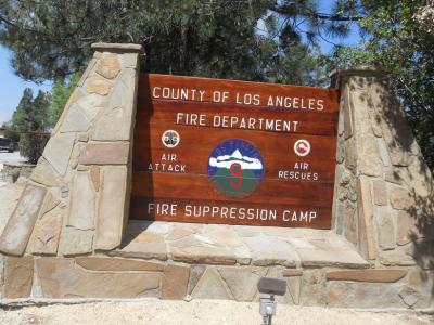
End point: Fire station sign at the top
Map & Route to Sand Canyon to Fire Station
Summary

Fastest Hill Climbs
View All Attempts
| Enter My Attempt
1.
43mins 35secs
- 12 Jun 2011:
Liv Pilla
View All Attempts »
Comments
Currently No Comments